
Welcome to Cape Cod region of Massachusetts, an area so loved by Thoreau that he wrote "A man may stand there and put the rest of the world behind him."

This area is indeed a national treasure, and thanks to the fore-sight of men and women who love and appreciate it, much of it has been protected for ours and future generations to appreciate.

Google Maps
This area was the leading edge of a large glacier that alternately pushed forward and receded backward, scouring the bedrock and leaving a large mound of sand to mark its forward progress. Since that time sea levels have risen, and the currents have carried sand northward, creating the "hook" at the northern end of the cape.

An interesting feature that remains from the constant grinding of the ice sheet are all of the well rounded pebbles that are interspersed in the sands -most all of which are that perfect "skipping" size.

In 1873 a railroad was extended to the area, helping fuel a large art community that thrives to this day.

In 1899 the Cape Cod School of Art opened its doors, and by 1915 5 other art schools opened their doors. Many French artists fleeing war in their country added to the influx. To this day the area works hard to offer inexpensive studio space to aspiring artists, and many galleries help them market their works to the tourists who arrive during the warm months.
An interesting geographic feature are the many "kettle" ponds that dot the land.

Some small and some larger, these freshwater ponds were created when the receding glaciers left large chunks of ice behind that created big divots. These depressions filled with water and most are nestled in forested areas. Locals aren't keen to give directions to them and finding parking can be difficult, but if you don't mind walking a bit they are great spots to visit. Other low lying areas turned into wild cranberry bogs.

The cape itself is under the constant onslaught of sea and wind. Miles of it have eroded over the millennia - the part that remains today is just a small part of what was.

The erosion of the area was hastened by early settlers that cut down the vegetation to create shelters and burn as fuel.

Photo from US Geography
The sixty eight square miles protected by the National Park Service include almost 40 miles of beach and numerous structures of historic value.

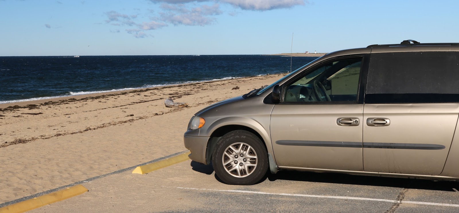
This is the only place I have seen so far that RV's are truly "on the beach."

The National Park Service also operates several interpretive centers that have exhibits and museum areas. Alongside the major parking areas are bath houses available for use by visitors.

I like the work done on the wood siding on this one -

Someone took the time to shape the shingles into the outline of a pair of whales. There is also a large outdoor amphitheater on the grounds.

Wildlife abounds - this fellow slithered away before I could get a photo of his head.


Little clumps of grass driven by the winds from the Atlantic create mini sculptures in the sand.

Erosion is always an issue.

Since it was first piled up, the cape has lost over two miles of its width to the battering of waves and wind.
We meet William Burke, the park's Cultural Resources manager and historian of the area.

William's father was a history buff, which inspired William to pursue a master's degree in history. Having finished college William wanted to be hands-on and involved in searching out history rather than being a professor. After a few stints in other national parks, he was able to return here - the area he grew up in.
William fills many roles for the National Park Service here, including collecting historical artifacts of various types and writing articles for the website and the park newspaper.
The original 1916 mandate of the Park Service is "to conserve the scenery and the natural and historic objects and the wildlife therein and to provide for the enjoyment of the same in such manner and by such means as will leave them unimpaired for the enjoyment of future generations."
In this area, there are eighty five historic buildings, over 300 archaeological sites and countless shipwrecks that this incorporates.
Among them are three lighthouses and numerous old houses, this one from the 1860's.

National Park Service photo
The other structure is the old life saving station.

At its peak in the 1800's,, this area was seeing an average of three shipwrecks a month. Subsequently, these stations were set up every five miles along this coast. Regular patrols searched the areas between stations for wrecks, and the situation only improved when a canal was dug along the base of the cape in 1909. This cut the 135 mile distance around the cape to just 7 miles.

William is a good writer - if you would like to see one of his articles on the canal, CLICK HERE for that edition of the newsletter and scroll down.

But his favorite thing is teaching school kids - a good percentage of the 4.5 million visitors here each year are kids on field trips. He covers a wide variety of topics, and likes the 4th - 5th grade levels the best.

The steady movement of the sand has caused the Park Service to take extreme measures over the years.

Among other events, the life-saving station above was decommissioned in nearby Chatham in 1944, and by 1977 the waves were literally breaking on the front porch. They moved the station to the above site close to Provincetown. In 1966 the park service moved two of Cape Cod's eight lighthouses further inland as erosion had put them in danger of falling into the ocean.

The park also maintains many miles of roads - all of which are in excellent condition as of this writing.

One of this areas is a biting fly that hangs out here in the summer. During the egg laying season the females are on the hunt for fresh blood, and a couple of million visitors are ripe for the picking. Locals say these flies seem to like bug spray - they just lick it off and dig right in, leaving a sizeable welt behind.
The only defense against them seems to be these traps that the park puts out.

The traps lure them in, where they get disoriented and cannot find their way back out. Millions of them are caught this way each year, but that doesn't seem to dent the overall population much.
I had an incident where I mistakenly thought one of them was getting a piece of me. I found a place along the ocean where I went each morning at sunrise to quiet myself before getting on with the day.
After a stroll along the beach, I was sitting in the van making some notes on things that needed done. I felt something biting my stomach, and absent-mindedly tried to brush it off a few times.
But the bite persisted, and after a bit it started feeling like a bee was stinging my stomach. I pulled up my shirt and looked - but nothing there. I did see a tiny spot of bring light on my stomach though - and looking up realized that my reading glasses were acting as a prism and had nearly burned a hole in my shirt.

What can you do but laugh and move on. There are two "Faces in the Crowd" entries today - the first a bike rider who had had enough bike riding.

And a dog that wanted to out-do my imaginary bee.

Which brings us to today's parting shot - spotted in a donut shop -

Make it a great day !!
David
No comments:
Post a Comment